If you’re looking for a nice hike that is not as popular as Mount Coolum or Mt Tibrogargan in the Glass House Mountains, you should give Mt Ninderry a go. This is a great hike for people that are stable on their feet as the path is very loose with a lot of rubble and large big rocks. We hiked this on a half sunny day and the track was good. The rubble didn’t bother us at all you just need to be careful where you step (not suitable for runners).
Update 2018: As some of you may know, the path has been upgraded and now there is an easier route that is quite smooth and can be suitable for runners.
Getting There
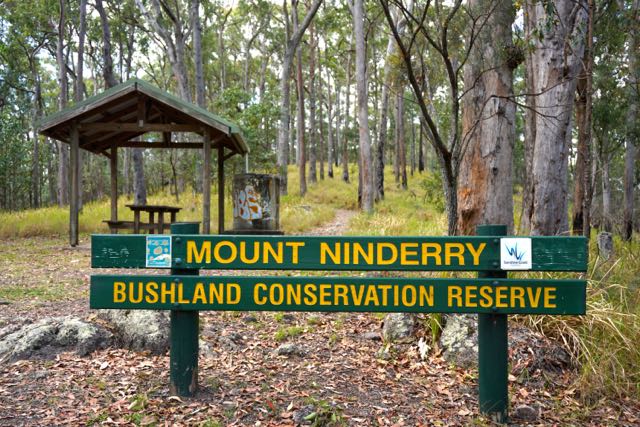
Getting to Mt Ninderry is the tricky bit….. Don’t follow your Google Maps directions as they’ll direct you to the wrong entrance in a private estate. You can come either via the Bruce Highway and take the Yandina exit, or via the Sunshine Motorway and take the Yandina Coolum Road exit. Then simply follow the road down to Collins road. There is a small brown sign “Mt Ninderry Bushwalking Track”. From here it’s probably less than 10 mins. Just follow the road and the small brown signs on the signposts and once you hit Eucalyptus Cres (view google maps here) , there is a right turn off onto a concrete driveway which leads you up to carpark and the track entrance. It looks like the below.
Hike Difficulty Mt Ninderry
The hike is a pleasant hike for those that are not new to exercising. As mentioned earlier make sure you are stable on your feet as it’s not recommended for people with wobbly ankles or knees. The track starts of nice and easy and then after about 10 minutes you hit “the steep part” which is a little bit of a huff and a puff but doesn’t last long. This steep part is where you’ll find all the loose rocks and rubble but if you tread carefully you’ll be fine.
View From The Top of Mt Ninderry
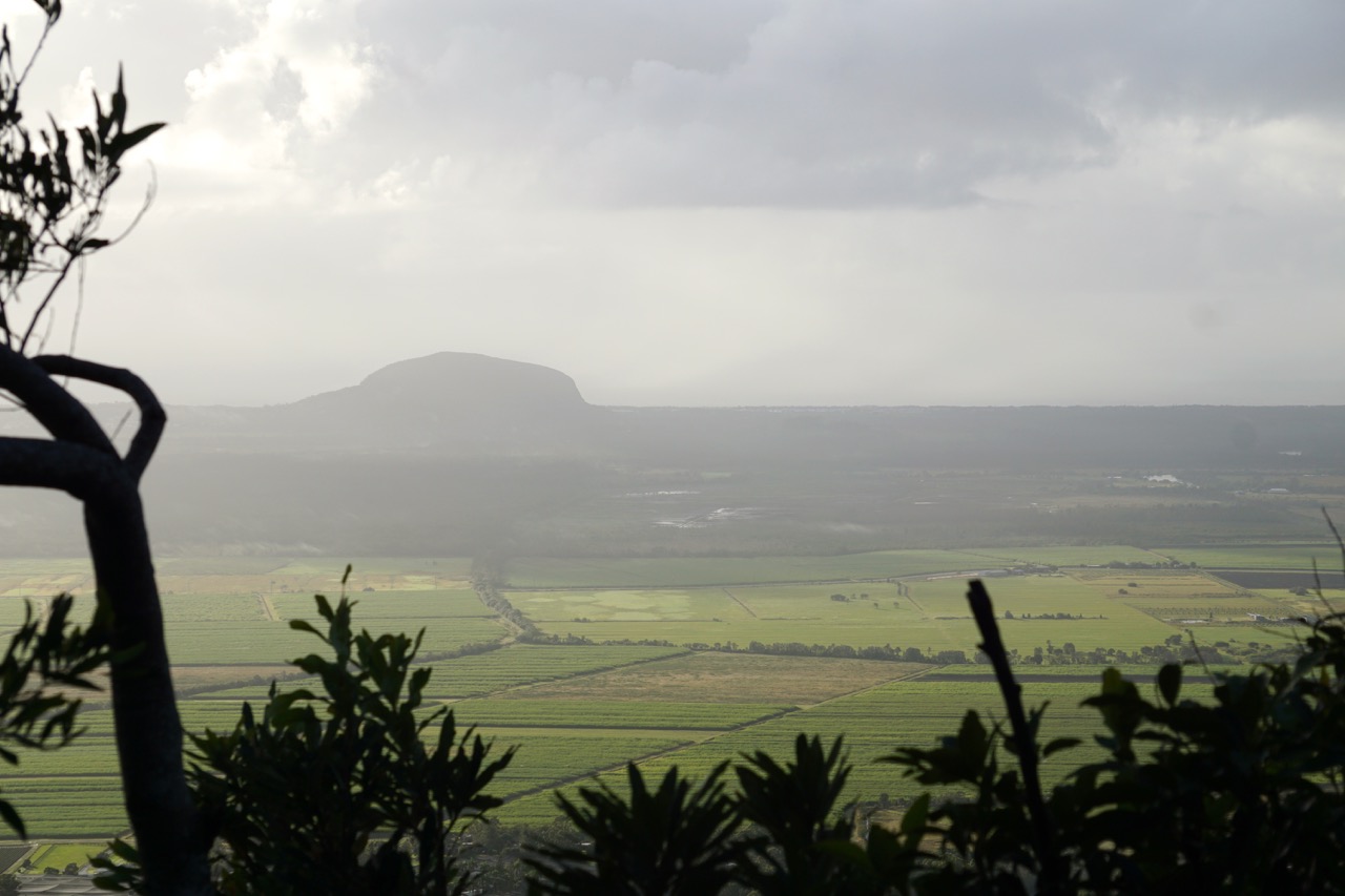
Once you have completed “the steep part” you have the option to turn left to a nice lookout. There are two “viewing platforms” (big boulders) where you could even have a picnic. Great views over the Sunshine Coast coast line viewing all the way from Mt Coolum to the hills of Noosa. When you look down you’ll see all the pineapple and sugar cane fields. As you can see in the below photo most fields were freshly harvested.

If you continue to the top you’ll be rewarded with a beautiful view. On a clear day you can see Mooloolaba on your right hand side, and Mt Coolum on the left (as per below photo).

Secret Little Track
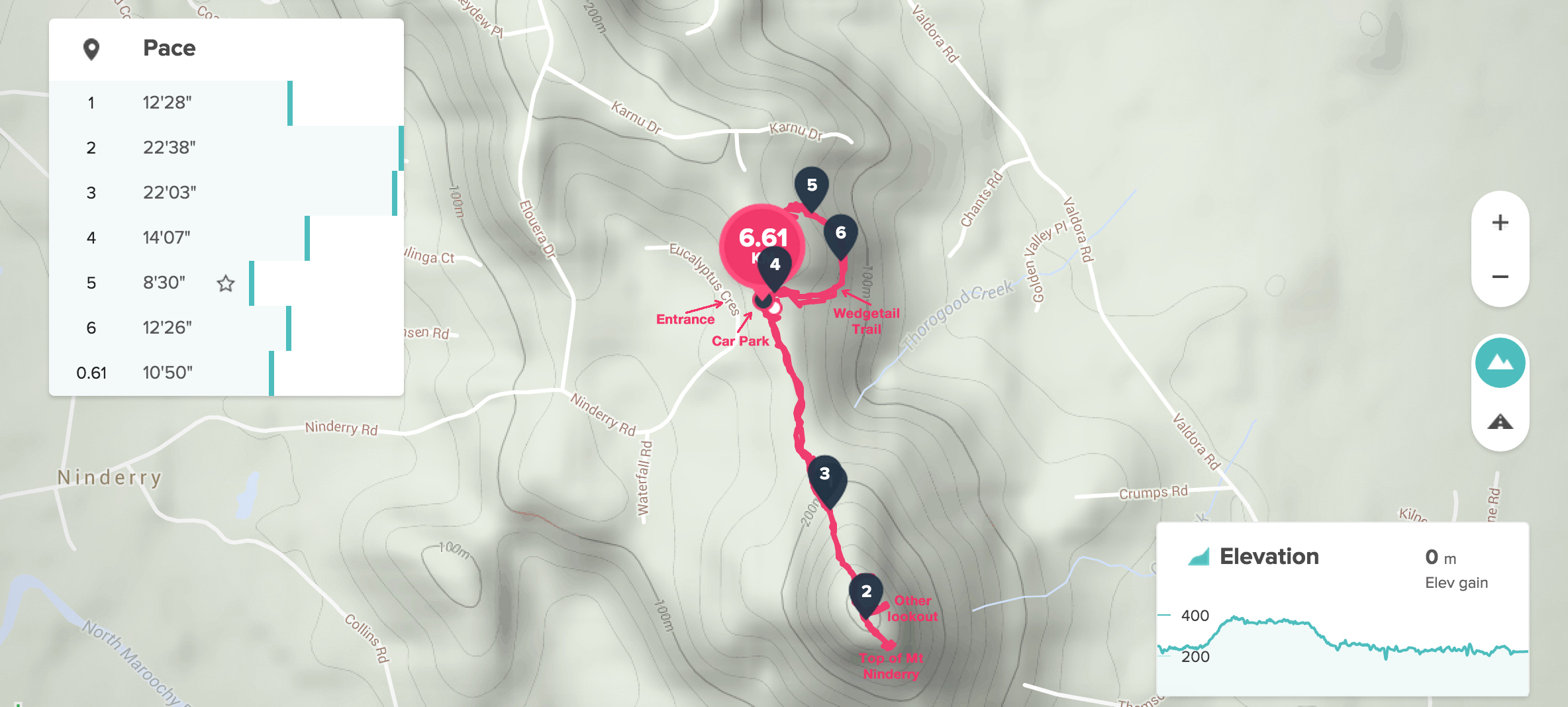
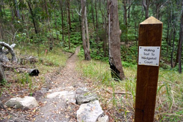
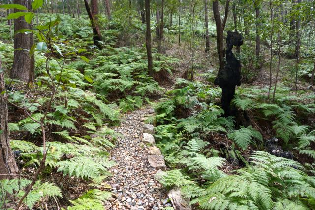
If you’re looking for a little bit more exercise after you have finished Mt Ninderry, you should try this secret little track that takes you to Wedgetail Circuit (this is a new estate but the walk is so worth it). This easy track is approximately 1km one way. It is not a circuit however when you get to the end you’ll hit the new estate and you can just walk back over the hill to get back to the carpark. Alternatively you walk the same track back.
Final Thoughts
If you plan on a nice outing I hope you’ll enjoy this beautiful hike on the Sunshine Coast. I’d love to hear what your favourite hike on the Coast is. Let me know in the comments below.
Connect with me: @AmazonWarriorAU




You must be logged in to post a comment.